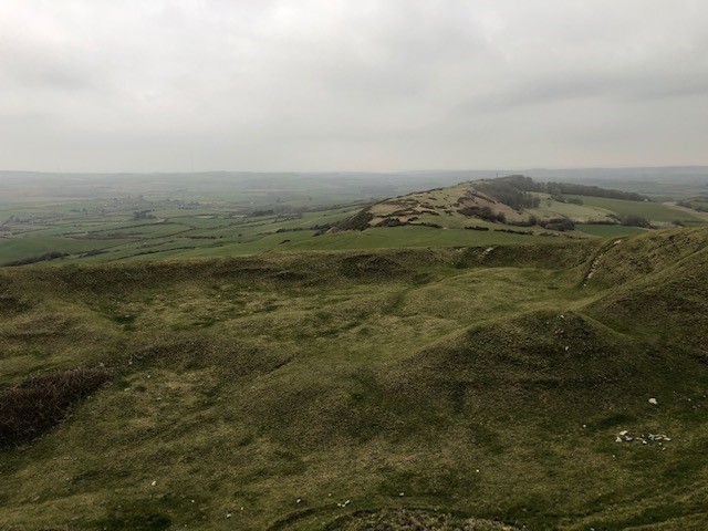
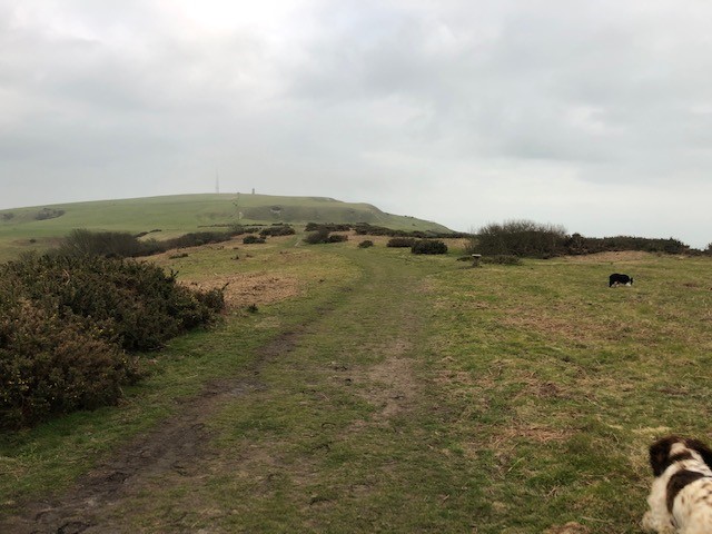
This walk from the viewpoint car park, up over St Catherine’s down and along to the Hoy Monument is a grassy route that, unless there has been a lot of rain, is largely mud-free.
There are a couple of styles/gates to negotiate, and there are often Cows in the fields you must cross, so please keep dogs under control.
From the car park, cross the road and go up the steps into the field. Follow the path diagonally across the field. The incline slowly increases until you get to the style at the top, after which is down a little and then largely flat to the Hoy Monument.
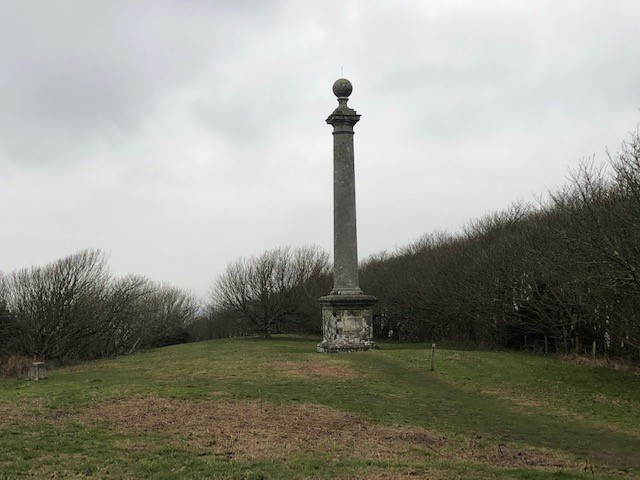
The Hoy Monument is located at the northern extremity of St. Catherine’s Down. The “Russian Monument,” also known as the informal alternate name for this structure, was established in 1814 by Michael Hoy. Find out more
You can take the same route back or climb up the hill and visit ‘The Pepper Pot’, otherwise known as St Catherine’s Oratory